Travel Tips | Outdoors and Adventure
Look, touch. Learning while having fun (Nanki Kumano Geopark Center)
Learn about the origins of the Kii Peninsula, Japan's biggest peninsula
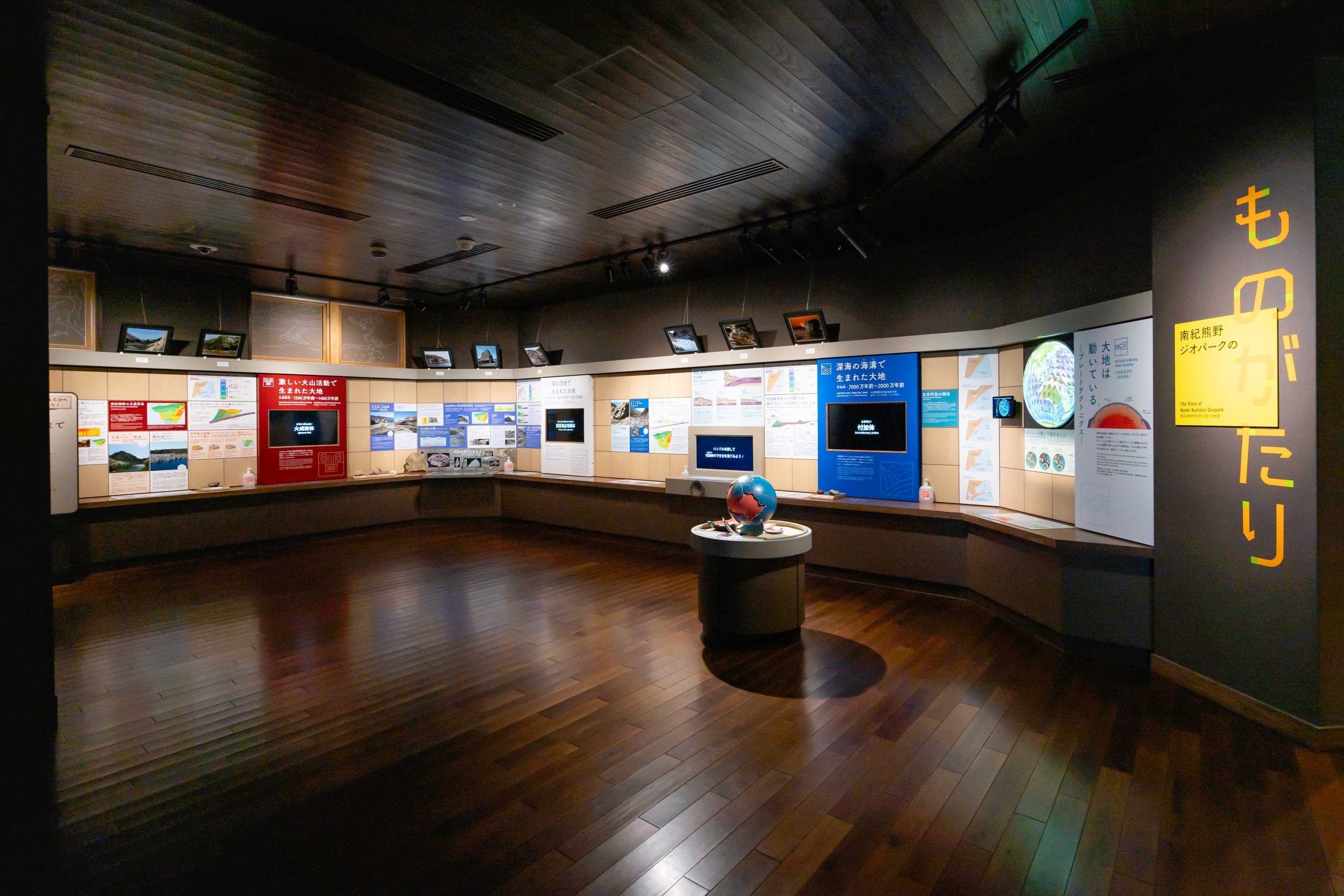
The main characteristic of Nanki Kumano Geopark is that you can see three different geological formations here: accretionary prisms accumulated on the ocean floor, forearc basin sediments deposited in ocean depressions, and igneous rocks formed by massive volcanic activity. At the Nanki Kumano Geopark Center, you can learn about the origins of the complex landforms while having fun with models, quizzes, and other activities.
Index
From “confusion" to "understanding”
Geopark guides at the Center will explain the origins of the complex landforms in an easy-to-understand manner. You can also request geoguides who will guide you around the 107 geosites within Nanki Kumano Geopark. These guides will tell you about not only the geosites but also the history and customs of the area, providing an even deeper and more enjoyable experience.
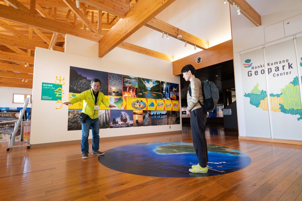
Nanki-Kumano Geopark guides are always on hand to provide detailed explanations.
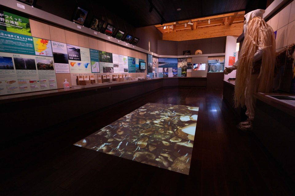
There are many exhibits that can be touched and played with!
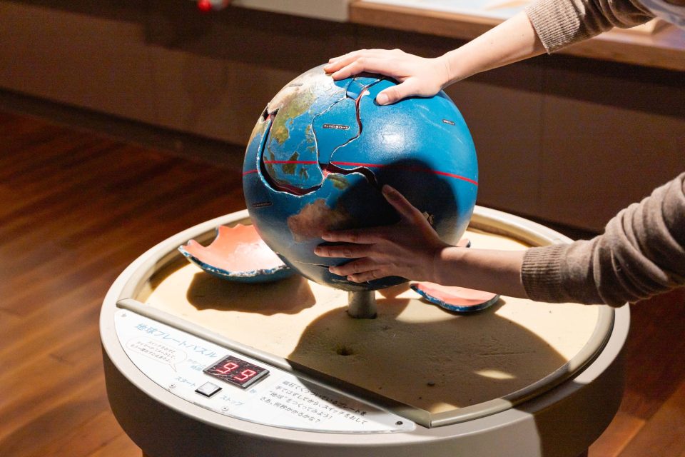
Earth Plate Puzzle: A puzzle in which the user must correctly fit a plate on a globe within a time limit.
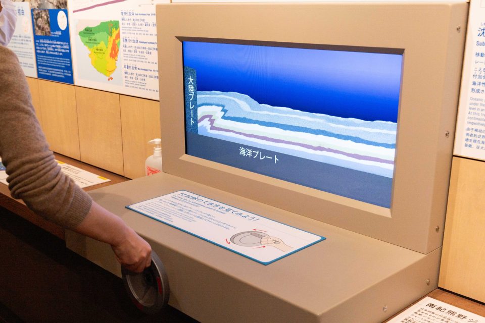
Let’s take a look at how an adduct is formed! Turn the handle to see how an adductant is formed!
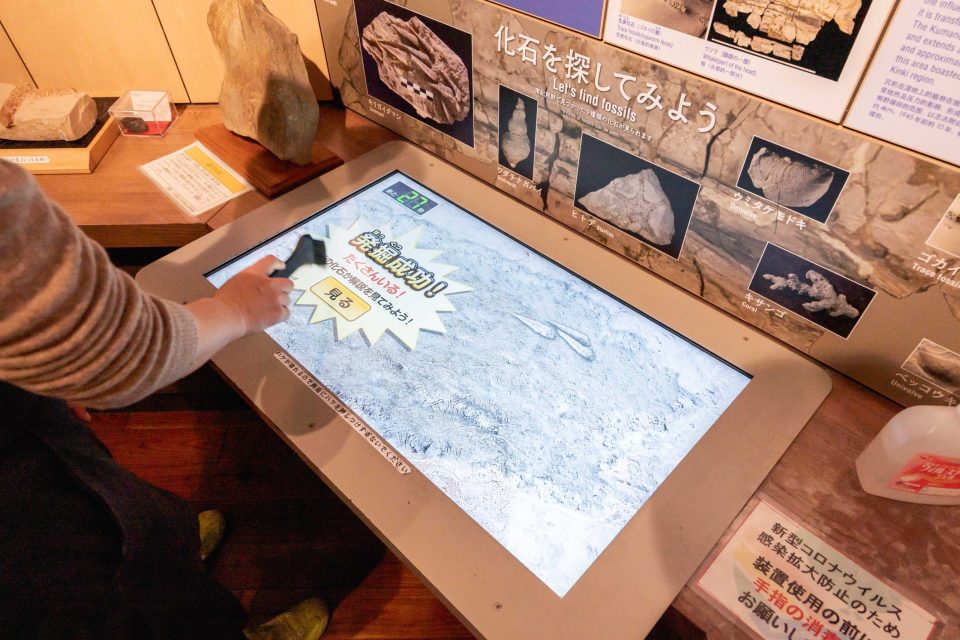
Let’s look for fossils: A game to find fossils found in Nanki-Kumano by brushing away sand with a brush.
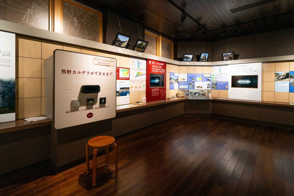
How Kumano Caldera was formed: Take the quiz and see how Kumano Caldera was formed!
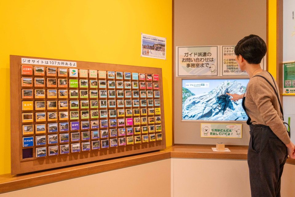
Place the cube for each geosite in front of the monitor to see detailed information and panoramic photos
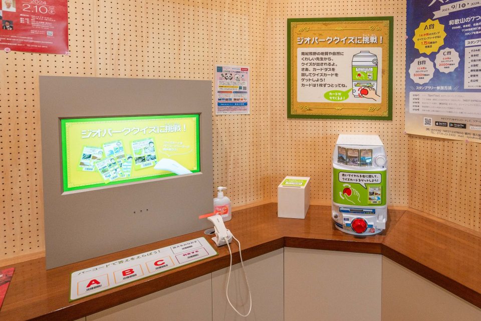
Take the Geopark Quiz! Carddas: Scan the barcode on the card that comes out when you spin the Carddas and take a Geopark-related quiz!
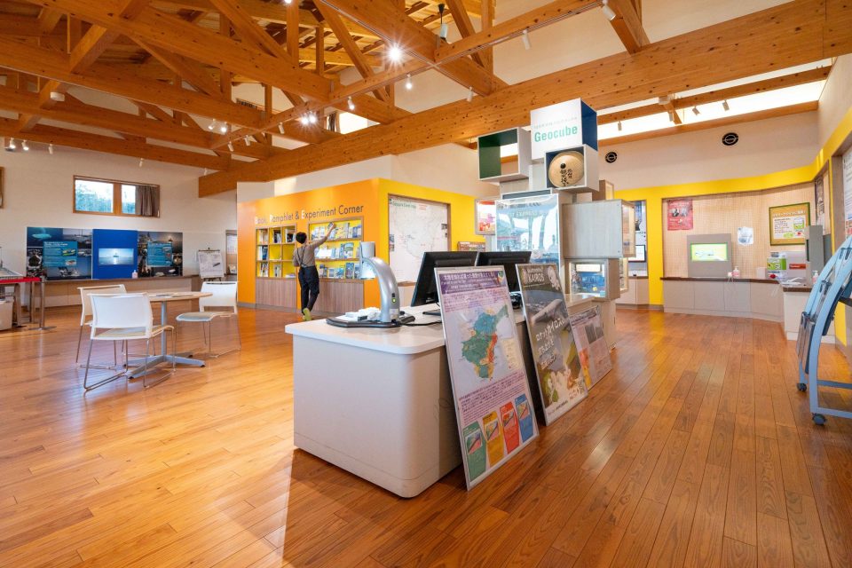
Corner for reading books and pamphlets related to Nanki-Kumano Geopark
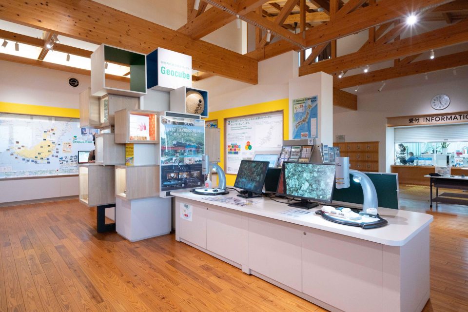
Electron Microscope Corner, and much more to see!
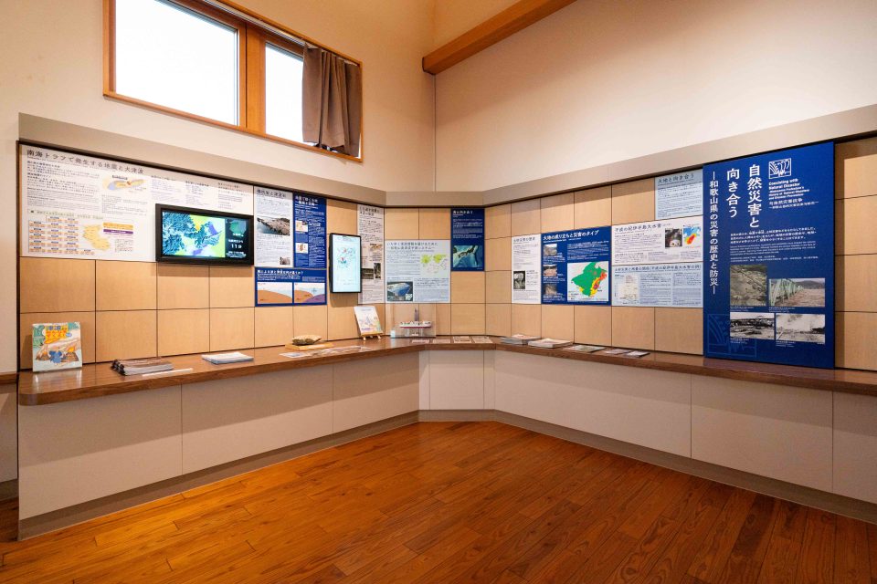
Acquiring accurate knowledge about disaster prevention
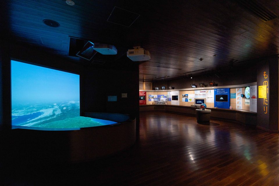
The Kii Peninsula is a place where new land is born. One of the roles of the Nanki Kumano Geopark Center is to help people acquire accurate knowledge about disasters such as earthquakes, tsunamis, and floods, and be able to use this information for disaster prevention and mitigation. Experimental equipment using tsunami simulation and river models is exhibited inside the Center.
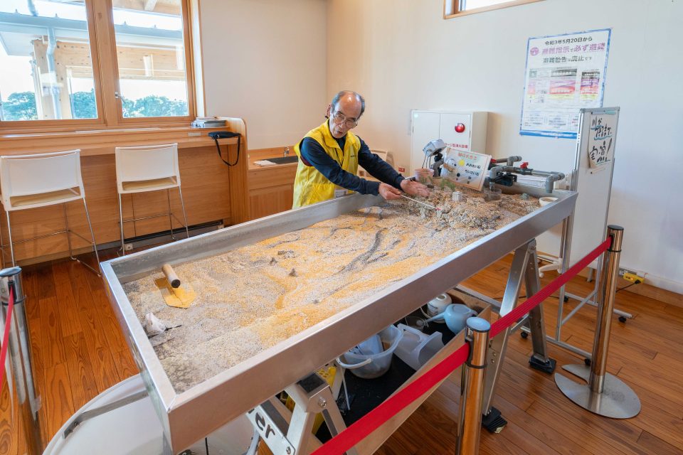
The demonstration of “how a river is formed” using sand and water. Visitors can also learn how floods occur and increase their awareness of disaster prevention.
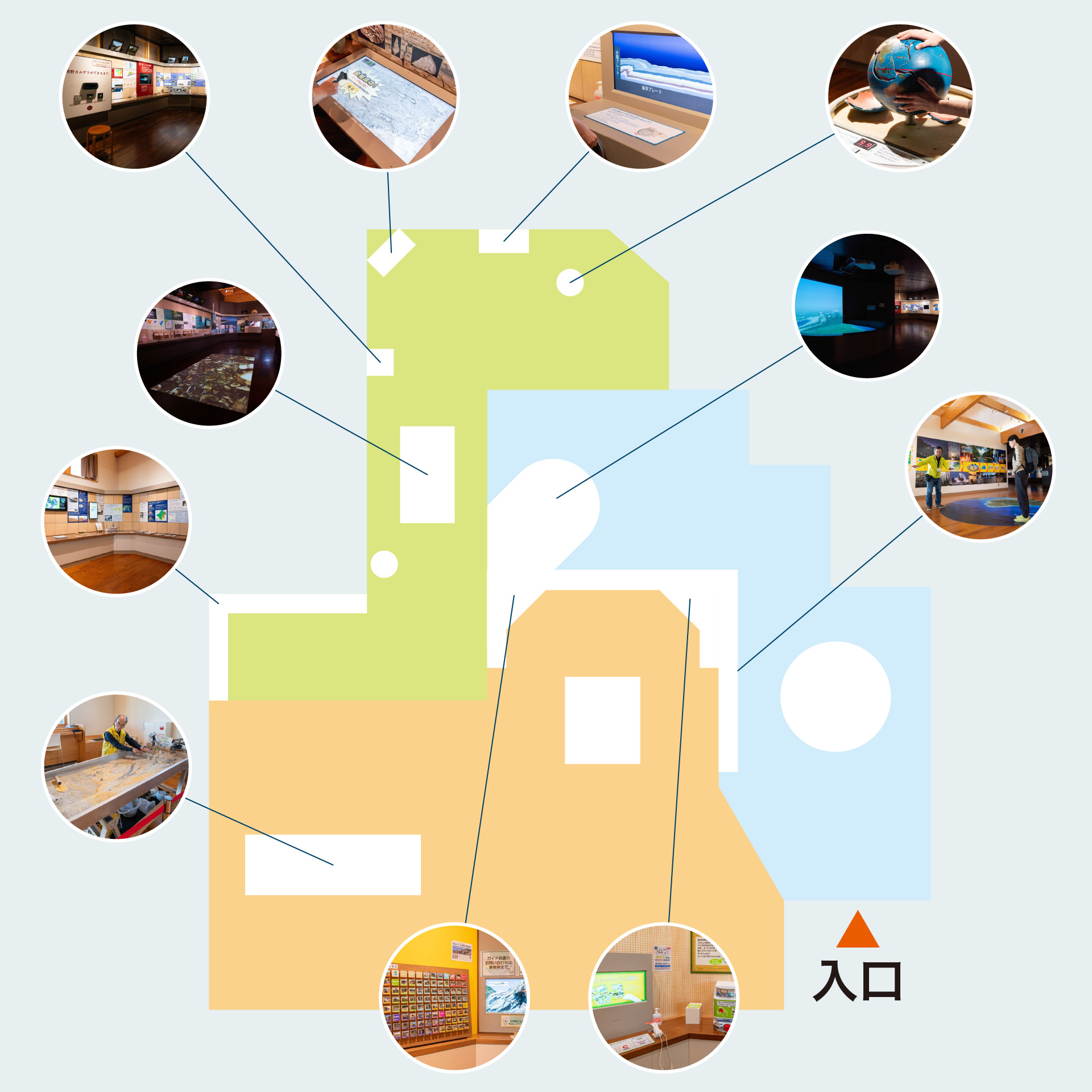
Map of the museum
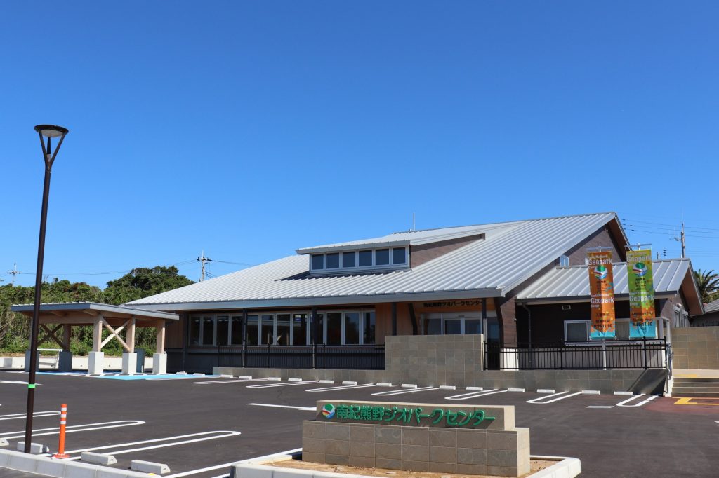
| Adress | 〒649-3502 2838-3 Shionomisaki, Kushimoto-cho, Higashimuro-gun, Wakayama, Japan( west side of Shionomisaki Kanko Tower ) |
|---|---|
| Opening Hours | 9:00 a.m. – 5:00 p.m. |
| Closed | the New Year’s holiday |
| Traffic Access |
By public transportation : From “Kushimoto Station” on the JR Kinokuni-line, take a Kushimoto Sightseeing Tour Bus (or Kushimoto Town Community Bus, Shionomisaki / Izumo line) for around 30 minutes to “Shionomisaki Sightseeing Tower” or “In front of Nanki-Kumano Geopark Center” .opark Center. By car: from Osaka/Wakayama, around 40 minutes’ drive from Susami Minami IC. |
| Parking | Available( free ) |
| Supported Language |
Interpretation boards in English and Chinese (simplified). |
| Contact | Nanki-Kumano Geopark Center TEL:0735-67-7100 Web:https://nankikumanogeo.jp/eng/geopark_center/ |
* Information is subject to change. Please be sure to check with the site/facility before heading out.