The Shimosato Hydrographic Observatory
下里水路観測所/Shimosato-suiro Kansokujo
Details
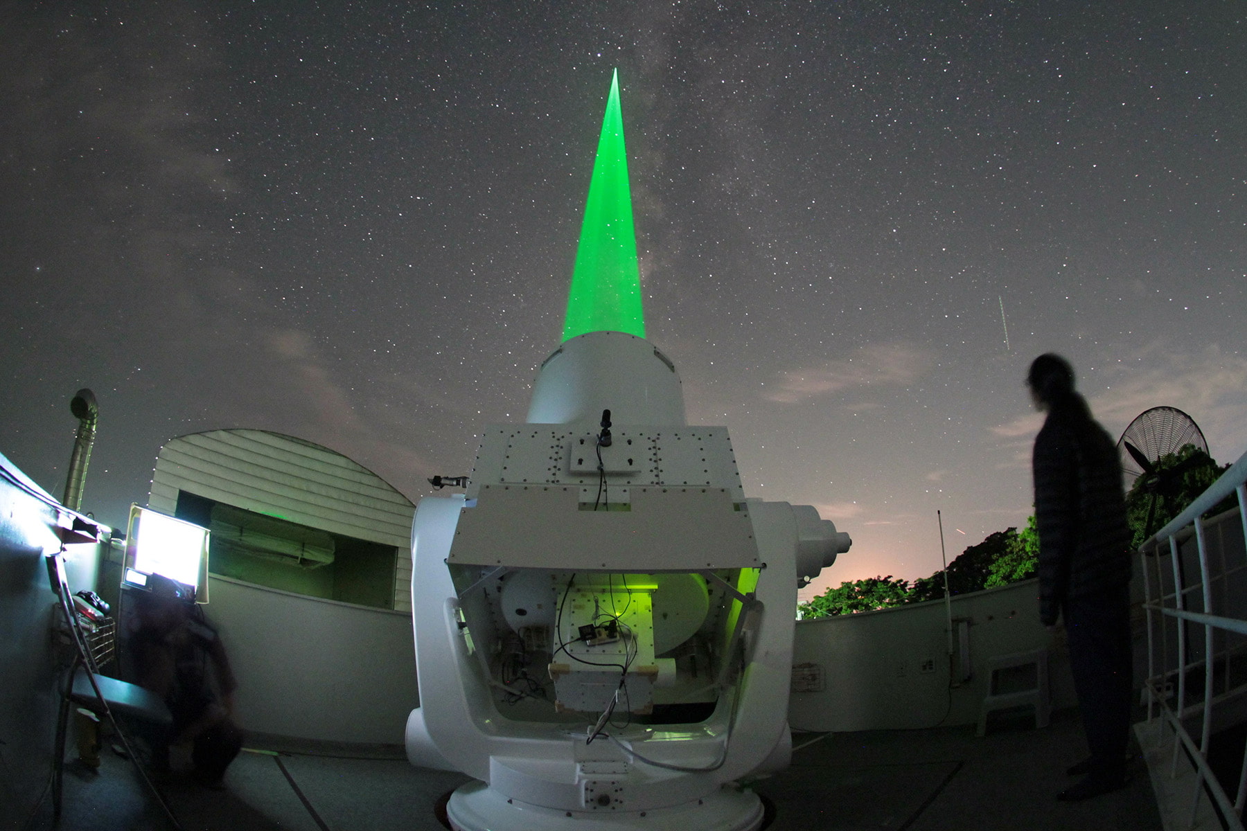
Utilizing laser technology, researchers measure the distance between satellites and Earth in order to make precise measurements of coastlines and reefs. The measurement is made continuously as the land continues to move due to plate tectonics and other factors. This vital data aids in creating accurate nautical charts and supports ongoing earthquake and disaster prevention efforts.
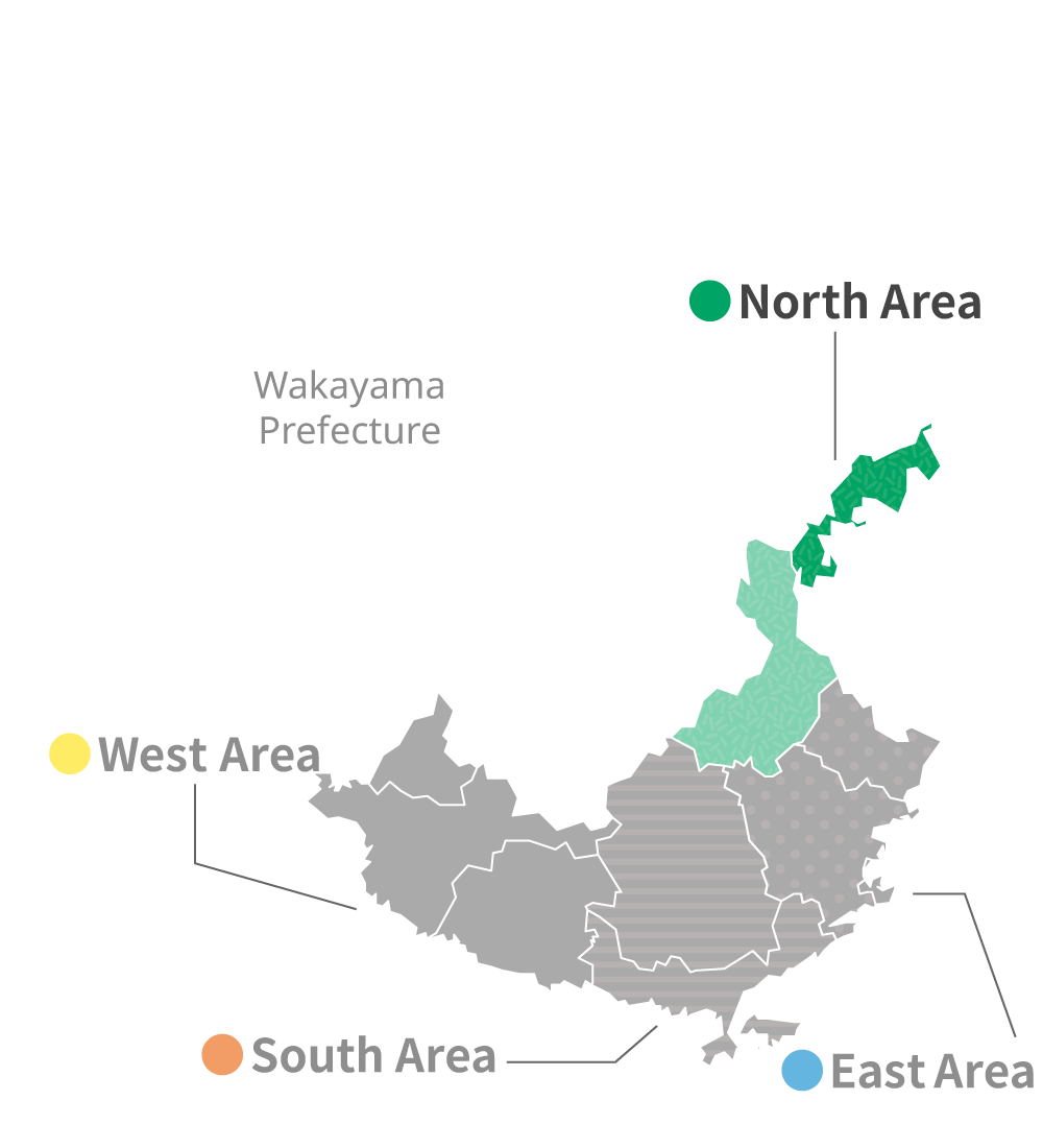
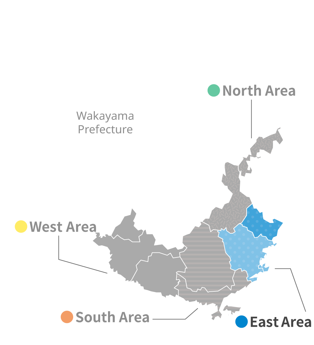
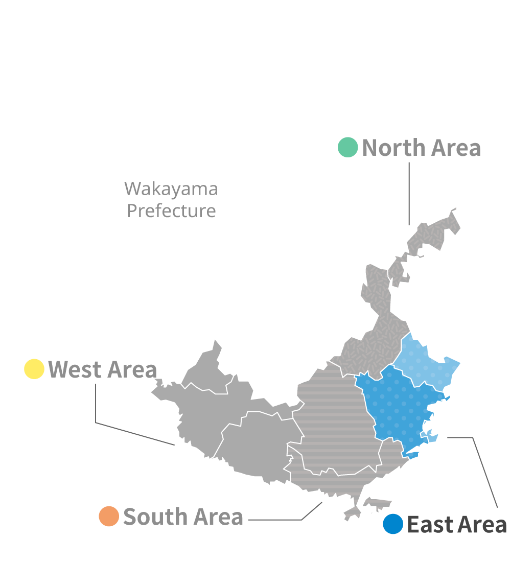
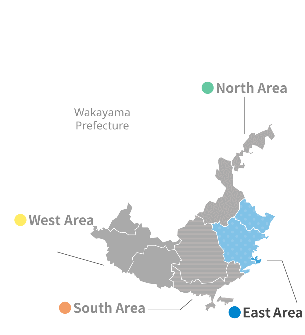
| Address | 1981 Shimosato Nachikatsura-cho, Higashimuro-gun, Wakayama-ken 649-5142 Japan |
| Parking | - |
| Traffic Access | - |
| Remarks | Open to the public at any time. For more information, please contact 0735-58-0084. |
| Literature Information |
